Pioneering Global Excellence in Geospatial Data


Infogeospatial delivers precise mapping and spatial intelligence tailored for governments, businesses, and development projects worldwide, ensuring your mission-critical decisions are backed by trusted data.
Empowering Precision with Geospatial Insights
Explore Infogeospatial’s expert geospatial solutions tailored for governments, businesses, and development projects worldwide.
-
 $1,499.99
 -
$4,999.99
-
$1,299.99
Mapping Accuracy with Global Geospatial Solutions
Explore how our surveying, GIS, and remote sensing expertise drives projects worldwide with precision and insight.

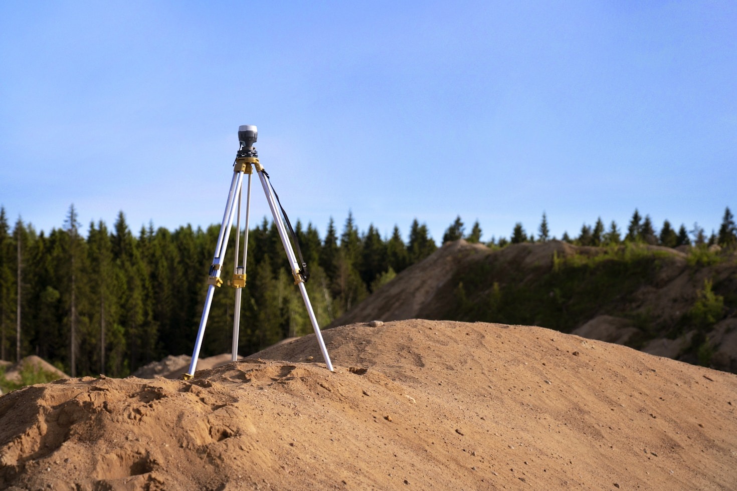
Global Survey Hub
Offering precision surveying and spatial data analysis to support your global initiatives.

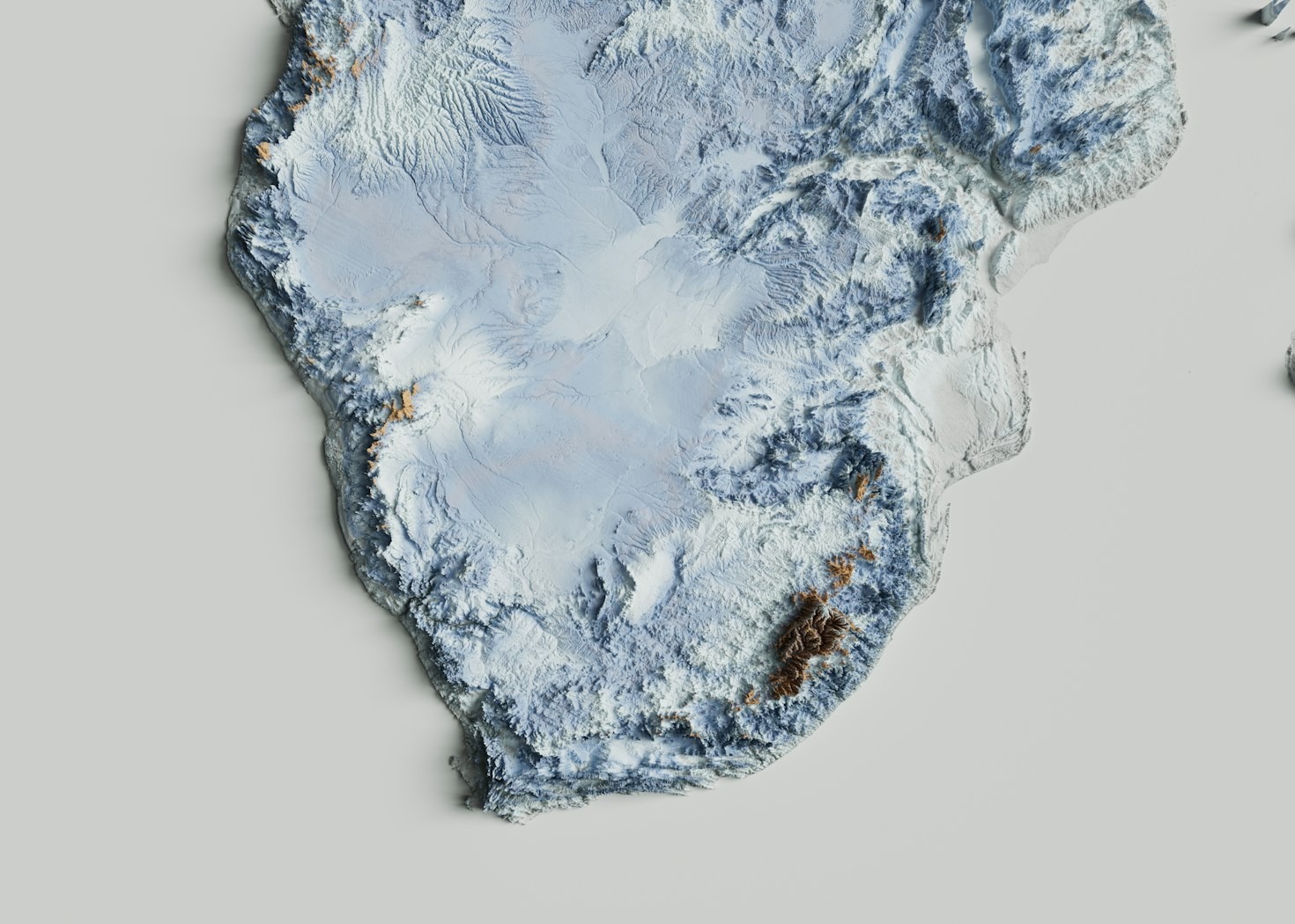
Remote Sensing Center
Specializing in advanced imagery and environmental monitoring for informed decisions.

GIS Analytics Division
Harness cutting-edge GIS tools here to enhance your spatial intelligence capabilities.
Insights
Explore our curated articles and expert resources on global surveying, GIS, and remote sensing to enhance your geospatial knowledge.
-
Breaking Down Global Challenges with Geospatial Insights
This paragraph serves as an introduction to your blog post. Begin by discussing the primary theme or topic that you plan to cover, ensuring it captures the reader’s interest from the very first sentence. Share a brief overview that highlights why this topic…
-
Leveraging GIS for Environmental Sustainability
This paragraph serves as an introduction to your blog post. Begin by discussing the primary theme or topic that you plan to cover, ensuring it captures the reader’s interest from the very first sentence. Share a brief overview that highlights why this topic…
Accurate Geospatial Solutions Worldwide
Discover upcoming webinars and workshops showcasing the latest in GIS technology and spatial analysis tools, designed to connect professionals and enthusiasts alike.

Global GIS Data Integration Summit

Date:

Location:
Join us for an in-depth session on merging diverse geospatial datasets for enhanced decision-making.

Remote Sensing Innovations Forum
Date:
Location:
Explore cutting-edge remote sensing techniques transforming environmental monitoring and urban planning.
Introduction to Spatial Intelligence Workshop
Date:
Location:
A hands-on workshop focusing on practical applications of spatial data for government and business projects.
